Trace Routes of Early Explorers Using Scratch 3.0 (5th Grade)
Students use Scratch 3.0 to trace the routes of early explorers and describe the early explorations of the Americas.
History-Social Science Content Standards for California (2000)
5.2 Students trace the routes of early explorers and describe the early explorations
of the Americas. (ex. Christopher Columbus, Francisco Vásquez de Coronado)
3. Trace the routes of the major land explorers of the United States, the distances traveled
by explorers, and the Atlantic trade routes that linked Africa, the West Indies, the
British colonies, and Europe.
4. Locate on maps of North and South America land claimed by Spain, France, England,
Portugal, the Netherlands, Sweden, and Russia.
Background Knowledge
Students should be familiar with basic elements of Scratch 3.0.
- Set up an account.
- Add and change characters.
- Create code and costumes.
- Add and change backgrounds.
In addition, provide lessons on these specific tools:
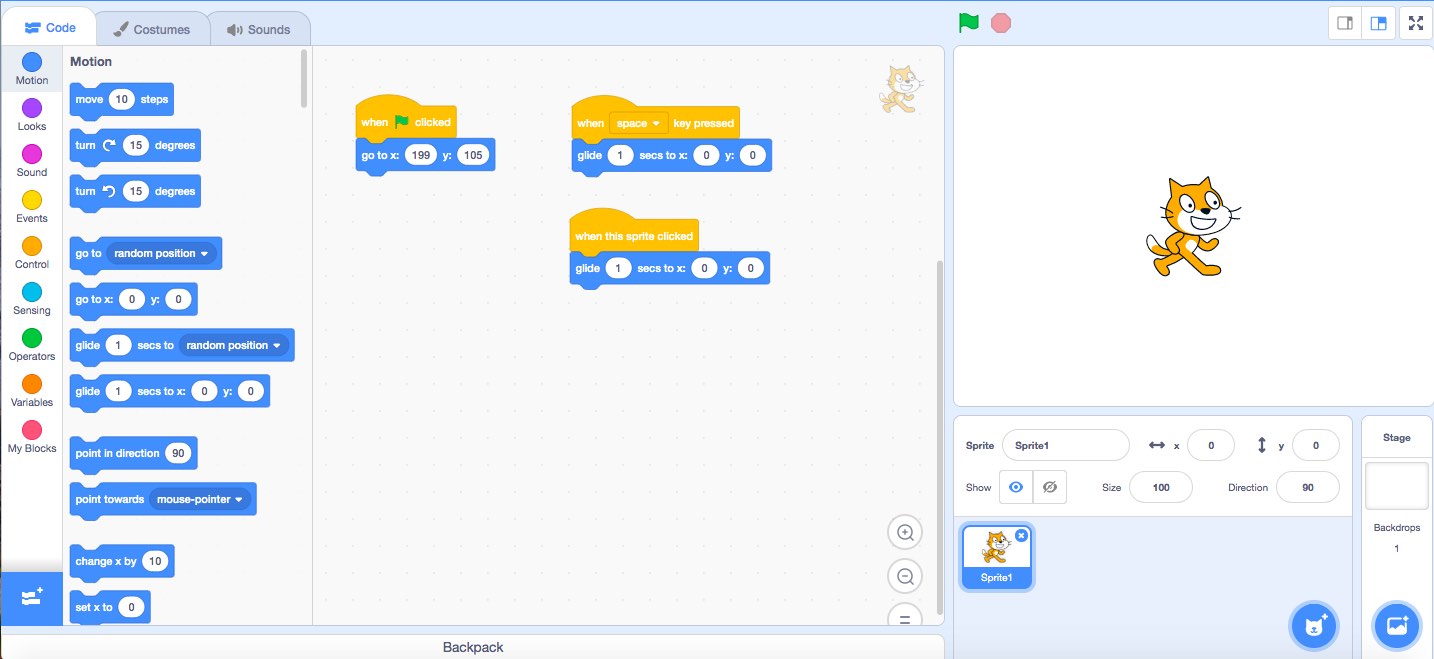
Events
- When ___ clicked
- When ___ key pressed
Motion
- Glide to: ____ and ____
- Go to: ____ and ____
Adding a Background Map (Mac)
- Google Search: “World Map Blank”
- Use shift+control+command+4 to capture the portion of the map you want.
- Open Preview
- File / New from Clipboard / ctrl+V
- Save / “Map” / JPEG
- Open Scratch 3.0
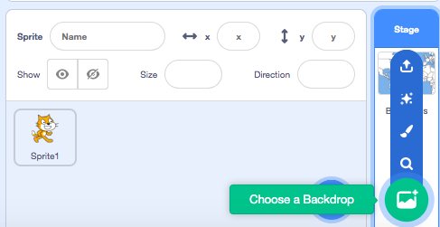
- “Choose Backdrop”
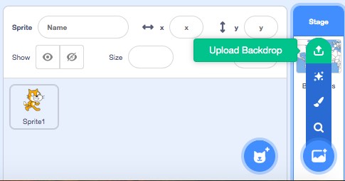
- “Upload Backdrop”


- Choose: “World Map” JPEG
- Convert to Vector
- Stretch with the arrow to fit screen.

