
Map North American Geographic Features Using Scratch 3.0 (2nd)
North America Geographic Features (REMIX) CLICK – To Share with Students.
North America Geographic Features (Complete) CLICK – For Teacher Reference.
Students use a North America base map and Scratch Project Remix to add labels to a simple map of the North American continent, including the
countries, oceans, Great Lakes, major rivers, and mountain ranges. Students use Scratch tools identify the essential map elements: title, legend, directional indicator, scale, and date.
Background Knowledge
Students should be familiar with basic geography of the North American Continent.
Students should be familiar with basic elements of Scratch 3.0.
- Set up an account.
- Add and change characters.
- Create code and costumes.
- Add and change backgrounds.
In addition, provide lessons on these specific tools:
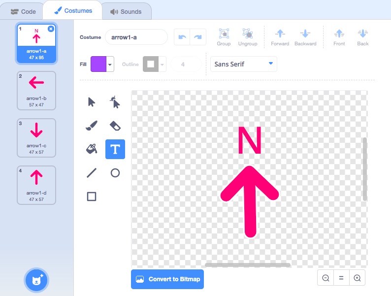
![]()
Adding Labels using “Costumes” tab and “Text” box.
History-Social Science Content Standards for California (2000)
2.2 Students demonstrate map skills by describing the absolute and relative locations of people, places, and environments.
2. Label from memory a simple map of the North American continent, including the countries, oceans, Great Lakes, major rivers, and mountain ranges. Identify the essential map elements: title, legend, directional indicator, scale, and date.